
Sustrans
Sustrans are the charity making it easier for everyone to walk, wheel and cycle. We work for and with communities, helping them come to life by walking, wheeling and cycling to create healthier places and happier lives for everyone.
We're also the custodians of the National Cycle Network – the UK-wide network of over 12,000 miles of signed paths and routes for walking, wheeling, cycling and exploring outdoors.
We publish a range of cycling maps and guidebooks to help people explore their local Network and discover new routes across the UK.
Sustrans' pocket-sized regional cycling maps focused on regions or areas of the National Cycle Network across the whole of the United Kingdom. Our range of 56 regional maps provide essential information, route details and points of interest across the National Cycle Network to help with journey planning and navigation on trips.
Sustrans regional pocket maps are the ideal companion for cyclists, walkers and those new to the National Cycle Network. They are a great resource for planning, navigating, and discovering the diverse landscapes, historical sites, and cultural attractions across the UK, discovering the beauty of the National Cycle Network whilst promoting sustainable and active travel.
We also publish a range of guidebooks, offering detailed information into specific cycling routes or regions. Our guidebooks feature detailed route descriptions, landmarks, historical sites, natural beauty spots, and places to eat or stay. They also provide practical advice on accommodation, facilities and nearby attractions, making them an essential resource for individuals seeking memorable and well-planned cycling adventures.
Popular items by Sustrans
View all offers-
Radnor Ring Mid Wales Cycle Route Map (Sustrans National Cycle Network Discover Series)
Sustrans
Item prices starting from
View 1 offerUS$ 4.43
Also find
New -
Avenue Verte - London to Paris by Bike: The Official Guide to the 345 Mile / 550 Km Route Between the London Eye and Notre Dame
Sustrans
Item prices starting from
View 3 offersUS$ 12.63
Also find
Used -
Hull to Fakenham Cycle Route : National Cycle Network Official Route Map
Sustrans
Item prices starting from
View 2 offersUS$ 8.76
Also find
Used -
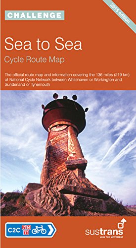
Sea to Sea Cycle Route Map: NCN C2C (National Cycle Network Route Maps)
Sustrans
Item prices starting from
View 6 offersUS$ 13.54
-
Sustrans' Circular Day Rides South
Sustrans
Item prices starting from
View 2 offersUS$ 16.73
Also find
Used -
Thames Valley Cycle Map: Including Oxford, Reading, Guildford, Maidenhead and Windsor - and 5 Individual Day Rides (Pocket Sized Guide to the National Cycle Network)
Sustrans
Item prices starting from
View 2 offersUS$ 12.19
Also find
Used -
Lon Las Cymru Cycle Route: North (National Cycle Network Route)
Sustrans
Item prices starting from
View 1 offerUS$ 7.11
Also find
Used -
Fakenham to Harwich Cycle Route : National Cycle Network Official Route Map
Sustrans
Item prices starting from
View 2 offersUS$ 8.81
Also find
Used


Showing 8 of 82 titles