
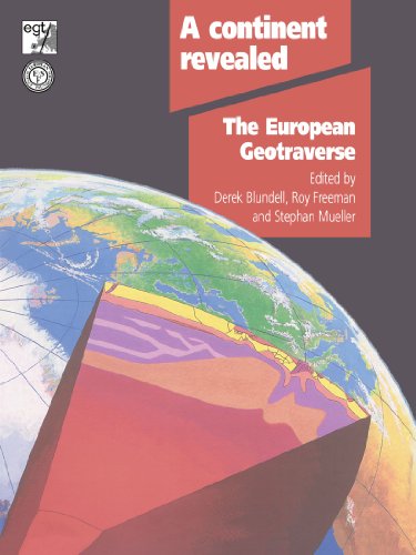
A Continent Revealed : The European Geotraverse, Structure and Dynamic Evolution
ISBN 10: 052142948X ISBN 13: 9780521429481
Published by Cambridge University Press, 1992
Used
Soft cover
From
Better World Books, Mishawaka, IN, U.S.A.
Seller rating 5 out of 5 stars

AbeBooks Seller since August 3, 2006
This specific item is no longer available.
About this Item
Description:
Former library copy. Pages intact with possible writing/highlighting. Binding strong with minor wear. Dust jackets/supplements may not be included. Includes library markings. Stock photo provided. Product includes identifying sticker. Better World Books: Buy Books. Do Good. Seller Inventory # GRP65352432
Synopsis:
A Continent Revealed presents the findings of the European Geotraverse (EGT)--a unique study of the tectonic evolution of the continent of Europe and the first comprehensive cross section of the continental lithosphere. The project produced maps and geologic profiles, along a 250 kilometer wide swath stretching 4600 kilometers from Scandinavia to the Mediterranean, which form a three dimensional picture of the structure, properties, and composition of the continental lithosphere of Europe in an atlas format. Many of the data that comprise the maps are also presented on an compact disc (ROM). The discussion volume, the maps, and a booklet containing gravity, electric, and magnetic field data constitute the complete boxed set. The paperback discussion volume is also available separately.
Book Description: The scientific achievements of the European Geotraverse Committee (EGT) are presented in this unique study of the tectonic evolution of the continent of Europe and the first comprehensive cross section of the continental lithosphere.
"About this title" may belong to another edition of this title.
Bibliographic Details
Title: A Continent Revealed : The European ...
Publisher: Cambridge University Press
Publication Date: 1992
Binding: Soft cover
Condition: Very Good
Edition: 1st Edition.
Top Search Results from the AbeBooks Marketplace

Stock Image
A Continent Revealed: The European Geotraverse, Structure and Dynamic Evolution
Published by
Cambridge University Press, 2010
ISBN 10: 052142948X
ISBN 13: 9780521429481
New
Softcover
First Edition
Seller: Kennys Bookshop and Art Galleries Ltd., Galway, GY, Ireland
Seller rating 5 out of 5 stars
Condition: New. A Continent Revealed presents the findings of the European Geotraverse (EGT) - a unique study of the tectonic evolution of the continent of Europe and the first comprehensive cross section of the continental lithosphere. Editor(s): Blundell, Derek J.; Mueller, Stephan (Institut fur Geophysik, ETH-Honggerberg, Zurich); Freeman, R. (Institut fur Geophysik, ETH-Honggerberg, Zurich). Num Pages: 288 pages, 140 b/w illus. BIC Classification: 1D; RBG. Category: (P) Professional & Vocational. Dimension: 246 x 189 x 15. Weight in Grams: 650. . 2010. 1st Edition. paperback. . . . . Seller Inventory # V9780521429481
Buy New
US$ 105.47
US$ 12.24 shipping
Ships from Ireland to U.S.A.
Ships from Ireland to U.S.A.
Quantity: Over 20 available
A Continent Revealed: The European Geotraverse, Structure and Dynamic Evolution. Boxed set with booklet, many maps and CD.
Published by
Cambridge University Press, 1992
ISBN 10: 052142948X
ISBN 13: 9780521429481
Used
Map
First Edition
Seller: Plurabelle Books Ltd, Cambridge, United Kingdom
Seller rating 5 out of 5 stars
Map. Condition: Very Good. This is a boxed set including a 73p book (A4 format), many large folded maps, a CD (Database), as new condition, excellent, but lacking a separate book that should be part of this set Language: English. Seller Inventory # 231746
Buy Used
US$ 121.98
US$ 10.77 shipping
Ships from United Kingdom to U.S.A.
Ships from United Kingdom to U.S.A.
Quantity: 1 available