About this Item
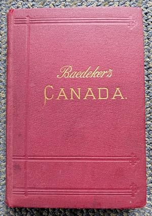
254 pp, 6 1/4" H, red cloth over card covers, gilt titling on spine and front board, blind stamping to spine and covers, text block edges marbled. 10 maps (some fold-out) and 7 plans (all present, although the map listed as at page 33 is actually at page 60, opposite the appropriate text). The introductory section includes a "Geographical and Geological Sketch" by G.M. Dawson and "Sports and Pastimes", by E.T.D. Chambers and W.H. Fuller. The routes follow, comprising the trans-Atlantic routes, travel from New York, Boston and Portland, then internal excursions and journeys through the provinces and up to Alaska. Information on rail, steamer and coach routes, hotels, restaurants, local history, etc. The inside front hinge has lightly separated from the binding but is holding well, the front free endpaper has been archivally taped at the gutter, an edge tear on the front free endpaper and the first map have been archivally taped, the first map has small piece missing from two corners, an edge crease on the 'Montreal' map and also some fore-edge chips on the adjacent page, fore-edge creases to the 'Nova Scotia' map, rear free endpaper has a piece missing from the top corner and smaller piece from the fore-edge; light browning to pages, maps and edges of text block; darkening to the colour of the covers and spine along with some soiling; light edge wear to covers. Seller Inventory # 28982
Contact seller
Report this item
![]()


