
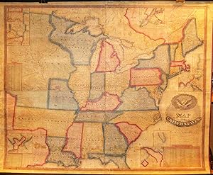
Map of the United States
Robinson, Lewis
Published by Akron, OH, Akron, OH, 1837
From High Ridge Books, Inc. - ABAA, South Deerfield, MA, U.S.A.
Seller rating 5 out of 5 stars
![]()
AbeBooks Seller since July 30, 1998