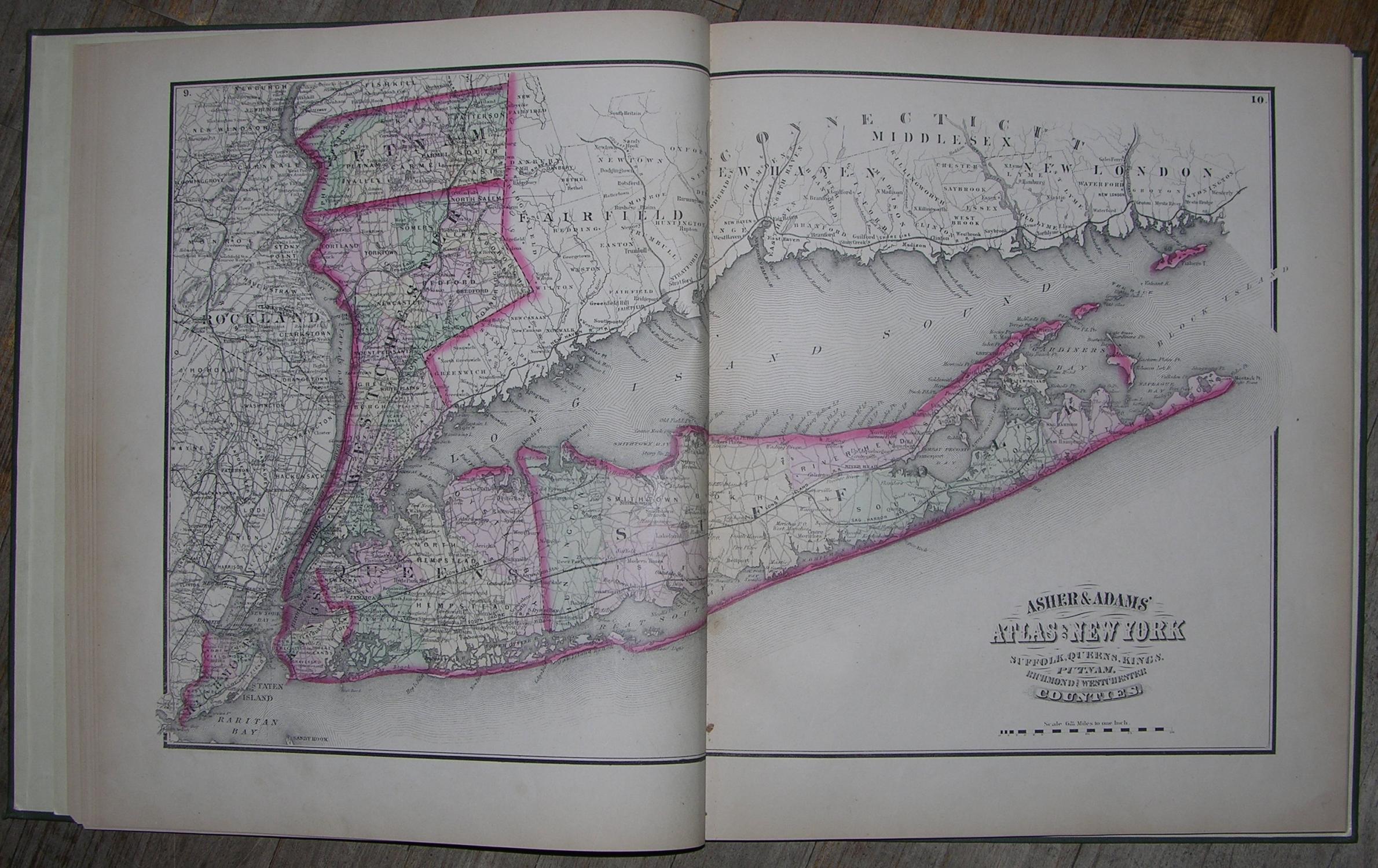
New Topographical Map of the State of New York Made from Official Records and Actual Surveys.
Published by New York: Asher & Adams, [1869].
- First Edition
- Hardcover
- Used


Seller: Arader Galleries - AraderNYC, New York, NY, U.S.A.Arader Galleries - AraderNYC
AbeBooks seller since December 2, 2005
Condition: Used
US$ 2,800.00
Quantity: 1 available
Add to basketItem description from seller
4to., (14 ¾ x 12 ½ inches). 16-page Classified Business Directory of New York City (somewhat toned). 16 color-printed lithographed maps finished by hand (slightly browned). Green cloth, spine lettered in gilt (extremities bumped). First edition. Includes beautifully colored maps of all New York counties, City of Brooklyn, Long Island City, City of New York, and Rail Road, Geological, and Meteorological maps of New York, with New York City Business Directory at the end. Asher & Adams was a New York-based mapmaking firm active in the 1860s and 1870s, known for their exceptionally detailed state and county atlases, the most important of which is "Asher & Adams Commercial and Statistical Gazetteer of the United States (1874). This atlas is notable because it is one of the first 19th-century atlases to remove topographical information in favor of detailed depictions of railroads. This book of maps of New York was published 1869, just on the heels of the Civil War, and the entire nation faced the daunting task of reconstruction. It was also an opportunity: old infrastructure was replaced with new technology, and the United States were connected in ways they never were before. By 1866, Western Union's network included about 100,000 miles of wire, and the first transcontinental railroad was completed in 1869. In New York City, the 1860s meant the advent of the skyscraper era, beginning with the construction of the Equitable Building, which broke ground in 1868 and was finished in 1870. New York was emerging as the nation's center of industry and finance, growing rapidly with the influx of European immigrants. Much of the island of Manhattan was still largely undeveloped, particularly from Central Park northward, and the growing population and demand for housing spurred development and expansion of the city. These maps portray a very exciting and dynamic period in New York history, which is evident in their level of detail.…
Seller Inventory # 72MMS155
Bibliographic details
- Title
- New Topographical Map of the State of New York Made from Official Records and Actual Surveys.
- Author
- Asher & Adams
- Publisher
- New York: Asher & Adams, [1869].
- Binding
- Hardcover
- Edition
- 1st Edition
- Seller catalogs
- Atlas
Arader Galleries - AraderNYC
New York, NY, U.S.A.
AbeBooks seller since December 2, 2005
Shipping rates within U.S.A.
| Item | 7 to 16 business days | 3 to 6 business days |
|---|---|---|
| First item | US$ 0.00 | US$ 20.00 |
Payment methods
- Check
Store description
Arader Galleries has specialized in the field of color-plate books and early works on paper for over fifty years. Our main specialisms are Americana, Maps/Atlases, Voyages and Natural History (with a special focus on the works of John James Audubon). We would be delighted to answer any questions you may have about any of the books listed on ABE or to welcome you to our gallery in New York.
Specialty
Texana, Travel books, Color Plate Books, Natural History, Botanical books and prints, Americana, Atlases and rare maps, Art of the American WestSeller's business information
Arader Galleries - AraderNYC
NY, U.S.A.
Terms of sale
We guarantee your satisfaction.
Shipping terms
Shipping costs are based on books weighing 2.2 LB, or 1 KG. If your book order is heavy or oversized, we may contact you to let you know extra shipping is required.