About this Item
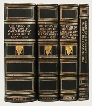
4 volumes in total, 3 being text volumes and the fourth being a portfolio of large folding maps and the index. Scarce First Edition. This set with the rare maps and index volume. A fourth volume of text was issued later, but the set is complete and up to date with the four volumes first issued. Magnificently and extensively illustrated including numerous mounted photograph portraits, illustrations from photographs, drawings and engravings, colour plates, panoramas, some folding, reproductions of letters and documents, maps throughout, some folding and 12 very large folding colour maps in pocket of the fifth volume. 4to, in the publisher s best binding of three quarter dark-green morocco over green cloth covered boards, the spine gilt ruled and decorated featuring an gilt tool of Africa with the route shown in blind, gilt frameworks in the other compartments and with gilt lettering and volume numbers. xxxvi, 727; xx, 510; xvi, 454; xii, 456, 12; maps, 49 index. A fine and handsome set, internally fresh and clean and appearing largely as new, the bindings very handsome and beautifully preserved. One map listed is not included in the map and index portfolio. FIRST EDITION AND THE RARE COMPLETE EARLIEST ISSUED SET OF FOUR VOLUMES. A FURTHER SUPPLEMENTAL VOLUME WAS ISSUED IN 1926. A SCARCE AND EXTRAORDINARY MONUMENT TO BRITISH COLONIAL AFRICA. This exhaustive work on one of the most difficult engineering projects of its age is, as stated by J.C. Smuts in the foreword, a "monumental record of African Pioneering". There are over 2000 pages of text and the illustrations are exceptional in every regard. There are numerous portraits being actual tipped in sepia photographs, colour plates and breathtaking maps. Though the work centers on the railway and river route, it also encompasses virtually every aspect of British exploration, pioneering and development in Africa. Weinthal has compiled this great work from a list of sources and contributors that would all by themselves constitute a great Africana library. To name just a small percentage of them we find; Winston Churchill, Sir Percy Fitzpatrick, Theodore Roosevelt, Harry Johnston, Flinders Petrie, Frederick Selous, J.C. Smuts and Francis Younghusband. While the focus stays largely on the route and development of the rail line there is no shortage of information on the native peoples, the game and wildlife, the gold and diamond mining operations, the geography, the cartography and much, much more. This set is complete with all of the portraits, plates, maps, etc. The list of illustrations in volume 3 references a plate of the mountain gorilla, this plate is always missing, as here and as is correct. We surmise the compilers were unable at the last minute to obtain the rights to reproduce the image from its original source material.
Seller Inventory # 33012
Contact seller
Report this item
