
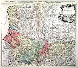
CARTE DU GOUVERNEMENT GENERAL DE PICARDIE QUI COMPREND LA GENERALIT� D AMIENS AVEC L ARTOIS & LES FRONTIERES DES PAYS BAS .Map of northeast France between Paris and Dieppe / Calais, reaching east to the Belgian border. After Guillaume De L Isle published by
De L Isle, G. / Homann Heirs.
Published by Homann Heirs 1746
Map
Condition: Fine
From Garwood & Voigt, Sevenoaks, United Kingdom
Seller rating 5 out of 5 stars
![]()
AbeBooks Seller since November 25, 2013