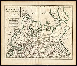
Antique Map-EUROPE-RUSSIA-Poirson-Tardieu-1810
From ThePrintsCollector, Zeeland, Netherlands
Seller rating 5 out of 5 stars
AbeBooks Seller since April 3, 2017
From ThePrintsCollector, Zeeland, Netherlands
Seller rating 5 out of 5 stars
AbeBooks Seller since April 3, 2017
About this Item
Map: 'Russie d'Europe, partie septentrionale.' (Map of European Russia, northern part.) Engraving and etching on a verge type hand laid paper. Outline hand colour. Description: This scarse map originates from an unknown atlas, published ca. 1810.Artists and Engravers: Carthographer: Jean-Baptiste Poirson (1761-1831) was a reknown French cartographer active between 1790 and 1830. Engraver: Jean Baptiste Pierre Tardieu l'Aine. Condition: Good. General age related toning and light staining. Original fold line from binding as issued. Please study scan carefully. Storage location: A221-14 The overall size is ca. 10.2 x 8.7 inch. The image size is ca. 9.3 x 7.5 inch. The overall size is ca. 26 x 22 cm. The image size is ca. 23.5 x 19 cm. Seller Inventory # 35350
Bibliographic Details
Title: Antique Map-EUROPE-RUSSIA-Poirson-Tardieu-...
Store Description
Payment Methods
accepted by seller