


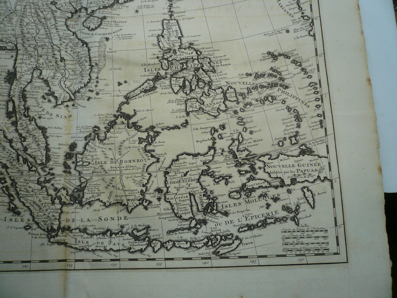
Carte des Indes, de la Chine & des Iles de Sumatra, Java, Chatelain, anno 1719 Author: Chatelain, Henri Abraham Copper-engraved map. 50 x 48 cm. Well-engraved map of India and Southeast Asia, including the Philippines, Indonesian Archipelago, Japan, China, etc. From the Atlas Historique of Chatelain, with horizontal and vertical folds. Little brownish mostly on margins, small restoration, please look the pictures.
Chatelain Henri
Publication Date: 1719
Map
Condition: Used - Good
Sold by Hammelburger Antiquariat, Hammelburg, Germany
AbeBooks Seller since September 22, 2015
Seller rating 5 out of 5 stars
![]()
Used
Condition: Used - Good
Price:
US$ 1,765.04
US$ 34.27 shipping
Ships from Germany to U.S.A.
Ships from Germany to U.S.A.
Quantity: 1 available
Add to basket