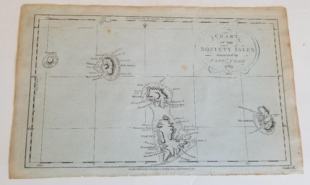
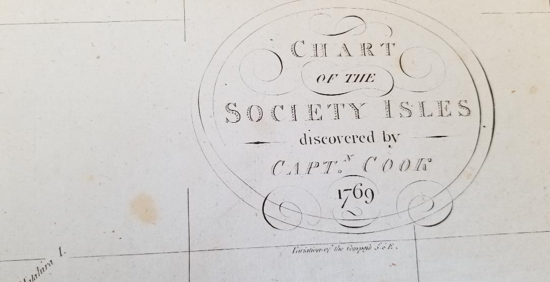
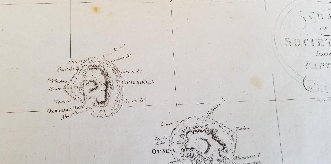
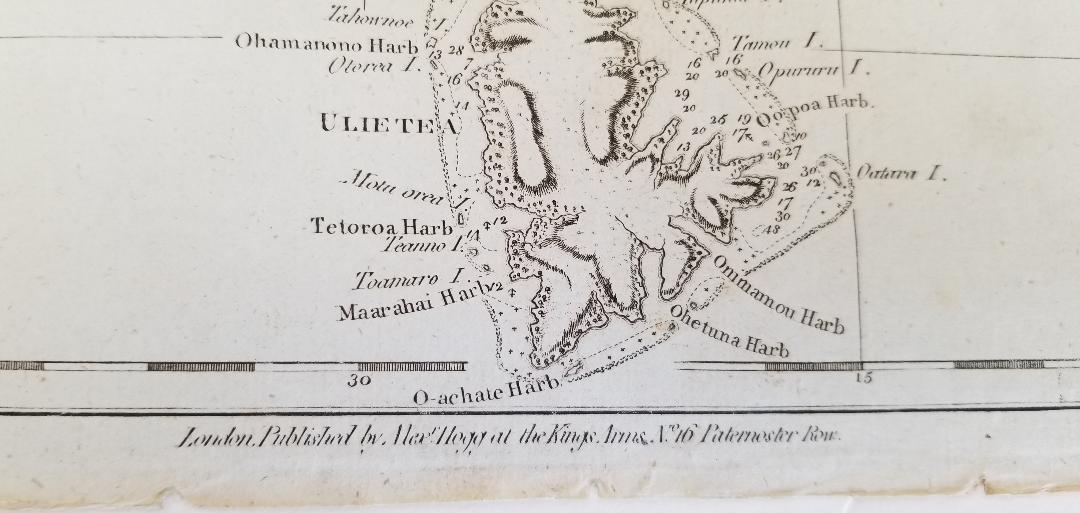
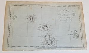
About this Item
According to the OCLC this is "Map showing the Leeward Islands situated in the western portion of the Society Islands, located northwest of Tahiti and features Maurua [i.e. Maupiti], Tubai [i.e. Tupei], Bolabola [i.e. Bora Bora], Ulietea [i.e. Raiatea], and Huaheine based on James Cook's surveys of his first voyage of the Pacific in July 1769. Imprint on map: London : Published by Alexr. Hogg at the Kings Arms, no. 16 Paternoster Row. Map opposite p. 515 from: A new, authentic, and complete collection of voyages round the world : undertaken and performed by royal authority : containing a new, authentic, entertaining, instructive, full, and complete historical account of Captain Cook's first, second, third, and last voyages, undertaken by order of His present Majesty, for making new discoveries in geography, navigation, astronomy, &c. in the Southern and Northern Hemispheres, &c., &c., &c. : to which will be added, complete and genuine narratives of other voyages of discovery round the world, &c. / . under the direction of G.W. Anderson. London : Alexr. Hogg, [1784-86]." Two bits of light foxing otherwise quite nice condition.
Seller Inventory # 2086
Contact seller
Report this item