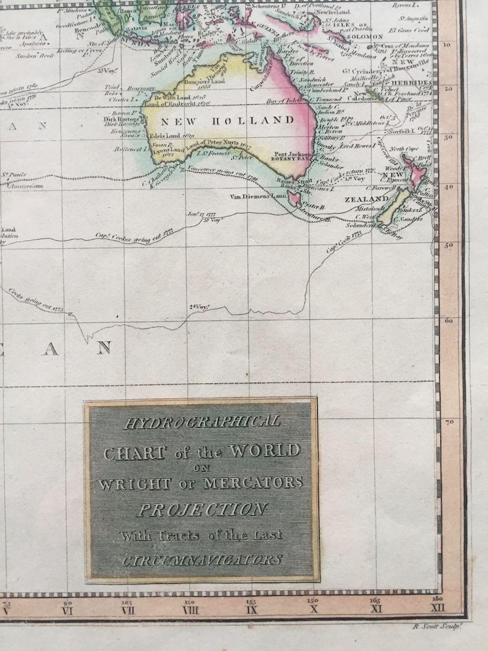
Hydrogrphical Chart of the World on Wright or Mercator s Projecttion
Edinburgh by John Thomson
From Tmecca Inc., Seoul, Korea, Republic of
Seller rating 5 out of 5 stars
AbeBooks Seller since October 18, 2019
From Tmecca Inc., Seoul, Korea, Republic of
Seller rating 5 out of 5 stars
AbeBooks Seller since October 18, 2019
About this Item
Dimensions: 21.25x 27.5. Large detailed map of the world, showing the tracks of various explorers, including Cook, Vancouver, Gore, La Perouse, Clerke, and others. The Northwest Coast of America is still largely inaccurate, and the NW Passage has not been charted. No sign of the Antarctic coast, with Cook's travels being the farthest noted in the south. An excellent world map with wide margins and attractive color. Seller Inventory # AMAC191206123
Bibliographic Details
Title: Hydrogrphical Chart of the World on Wright ...
Publication Date: 1817
Binding: No Binding
Condition: As New
Store Description
We guarantee the condition of every book as it's described on the Abebooks web sites. If you're dissatisfied with your purchase (Incorrect Book/Not as Described/Damaged) or if the order hasn't arrived, you're eligible for a refund within 30 days of the estimated delivery date. If you've changed your mind about a book that you've ordered, please use the Ask bookseller a question link to contact us and we'll respond within 2 business days.
Shipping costs are based on books weighing 2.2 LB, or 1 KG from our NJ (USA) location.
If your book order is heavy or oversized, or the located in our Korea office, we may contact you to let you know extra shipping is required.
Payment Methods
accepted by seller