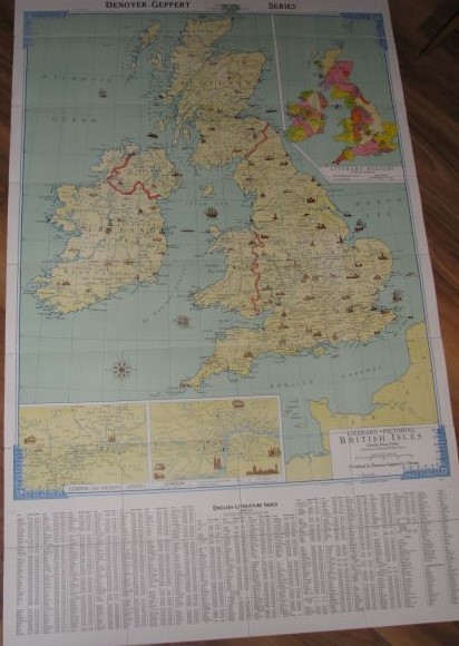
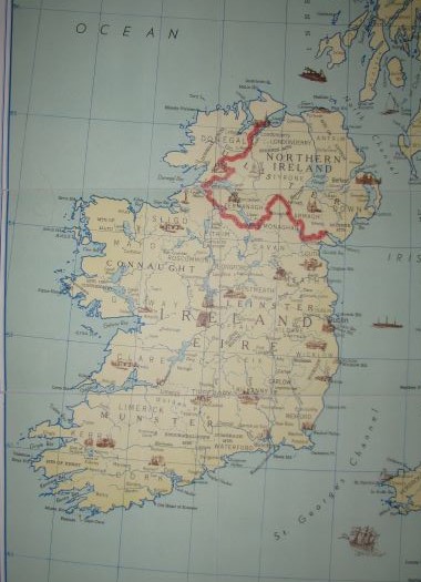
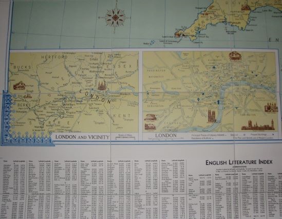
Literary Map of British Isles (Accordion-Fold Map)
Firley, Henry J. (editor)
Sold by Crossroad Books, Eau Claire, WI, U.S.A.
AbeBooks Seller since August 22, 1998
Used
Condition: Very Good
Quantity: 1 available
Add to basketSold by Crossroad Books, Eau Claire, WI, U.S.A.
AbeBooks Seller since August 22, 1998
Condition: Very Good
Quantity: 1 available
Add to basketAccordion-fold, linen-backed map that folds into protective (11" x 9") covers. Size is 43" x 72" when unfolded. Map has a vertical orientation and hangs from reinforced metal grommets. Denoyer- Geppert 16112 (J12aL) map. The map is drawn by R. Baxter Blair. Both the covers and the map have light bumping and rubbing. The margin of the map has an English Dept. Stamp and tiny staple holes. There are a few, light, short creases in the margin. There are light, small surface smudges on the map. The linen back has light marks. Else clean. In addition to legends and lists, there are maps of Scotland, England, Ireland, Northern Ireland, London, etc. The lower end of the map has a large English Literature Index. This is an illustrated, color map. ; 24A; 43" x 72".
Seller Inventory # 58581
CWO/Visa/MC/AMEX.
All books carefully packaged and promptly shipped.
Subject to prior sale. Returns accepted if notified within 10 days.
DJ's of most titles over $10.00 in Brodart covers.
Crossroad Books
W2565 Taylor Creek Road
Eau Claire, WI 54701
Phone: 715-514-4090
Email: xroads@crossroadbookstore.com
Shipping costs are based on books weighing 2.2 LB, or 1 KG. If your book order is heavy or oversized, we may contact you to let you know extra shipping is required.