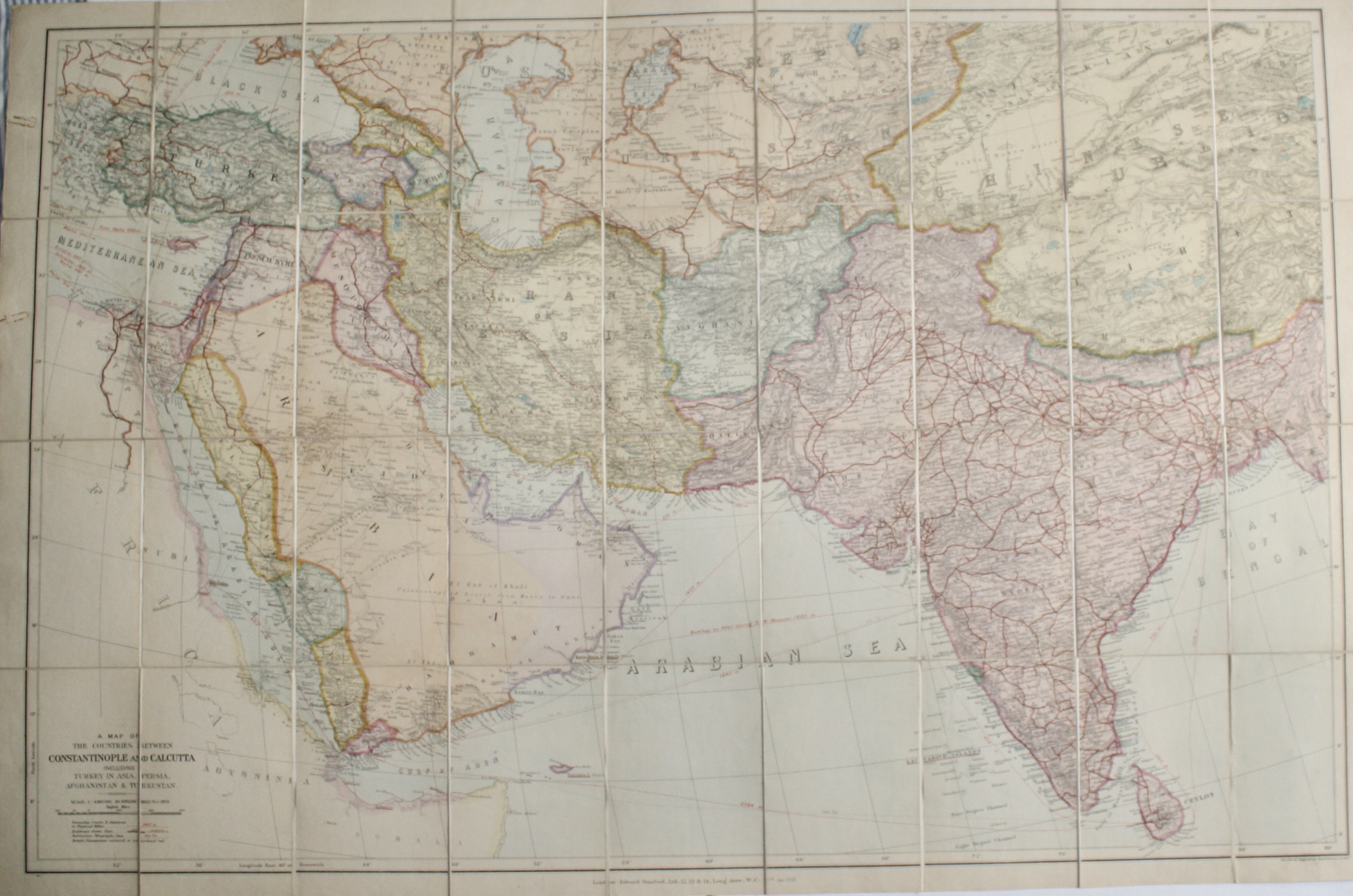
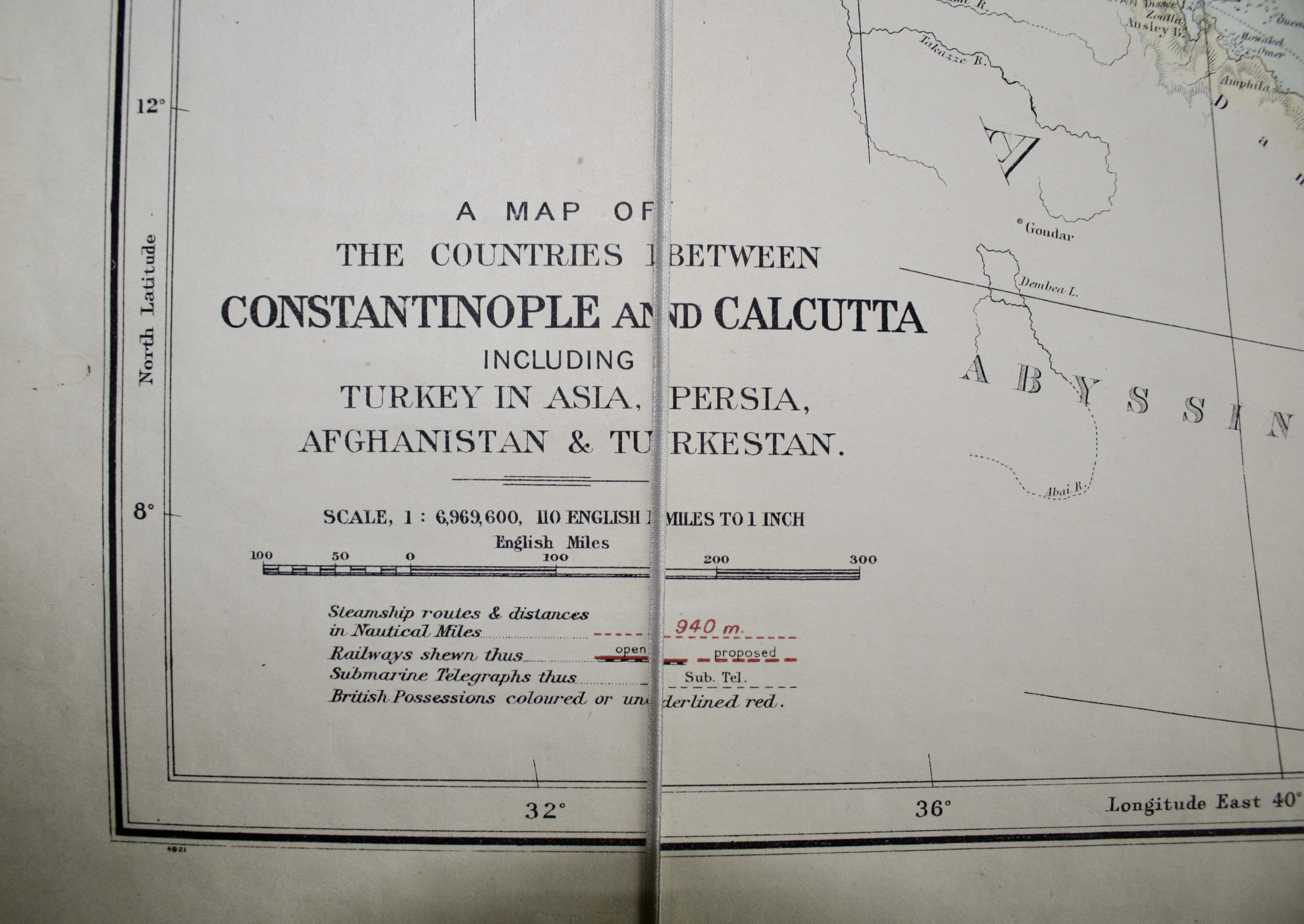
A Map of the Countries between Constantinople and Calcutta including Turkey in Asia, Persia, Afghanistan & Turkestan
Stanford, Edward
From Dendera, London, United Kingdom
Seller rating 5 out of 5 stars
AbeBooks Seller since March 28, 2013
From Dendera, London, United Kingdom
Seller rating 5 out of 5 stars
AbeBooks Seller since March 28, 2013
About this Item
Colour paper map 106 x 72cm, dissected in 36 linen backed sections, folding into grey paper covered outer panels 12 x 18cm with distributor Sifton Praed's label to one side. Very good, except for rusted paperclip residue in two places to the left margin. This map ran through several editions. This copy is dated 2 Jan 1922, during partitioning of the Ottoman Empire after WW1 and assignation of Mandates to Britain and France. 1:6,969,600 or 110 English Miles to 1 inch. Features include steamship routes and distances in nautical miles, railways (open and proposed), submarine telegraphs, and British possessions. Seller Inventory # 3942
Bibliographic Details
Title: A Map of the Countries between ...
Publisher: Edward Stanford, London
Publication Date: 1922
Binding: Hardcover
Condition: Near Fine
Store Description
Returns accepted within 30 days of the estimated delivery date. Please contact me
first with the reason. Buyer pays the cost of postage in both directions unless
the item is not as described. Name: Nils Bhinda. Address: Flat 9, 7 Copers Cope
Road, Beckenham BR3 1NE, Kent, ENGLAND. E-mail: nils_bhinda@yahoo.co.uk. Tel: +44-
(0)794-141-2119.
All items are carefully packed. Orders usually ship within 2 working days. Shipping costs are based on books weighing up to 2.2 LB, or 1 KG. If your order is heavy or oversized, we will contact you with a quote for extra shipping. Costs are also based on items with a value of £20 or less. We may contact you about tracking and insurance if the price is much above this.
Payment Methods
accepted by seller