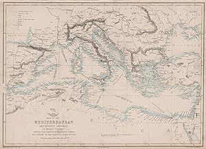
We are dealers in rare, authentic & original antique maps, sea charts, star charts, town & city plans, wine maps, military maps & campaign plans, old botanical, animal & bird prints, vintage art, cartoons and engraved topographical views published from the 17th-20th centuries. We have an extensive catalogue of over 80,000 antique art prints & original old maps covering all parts of the world. We sell only original historic maps & prints; we don't sell modern reproductions. We are based in London, and offer fast shipping to the US, Europe & worldwide.
Visit Seller's Storefront
Seller's business information
Antiqua Print Gallery Ltd
Chancery Station House, 31-33 High Holborn, London, WC1V 6AX, United Kingdom
Terms of Sale:
Terms:
All items are offered subject to prior sale and remain our property until full payment has been received. Goods will be sent within 2 business days of receipt of cleared payment, except during holidays.
Returns:
We accept returns for any reason initiated within 30 days of the estimated delivery date according to Abebooks standard conditions of return.
Authenticity:
All items are genuine antique or vintage and printed at the date stated unless specifically stated to be later reproductions....
More Information
Shipping Terms:
Smaller items (up to A4 in size) are packed flat in a board-backed envelope. Larger items are rolled into a strong postal tube. Items are sent insured.
![]()

