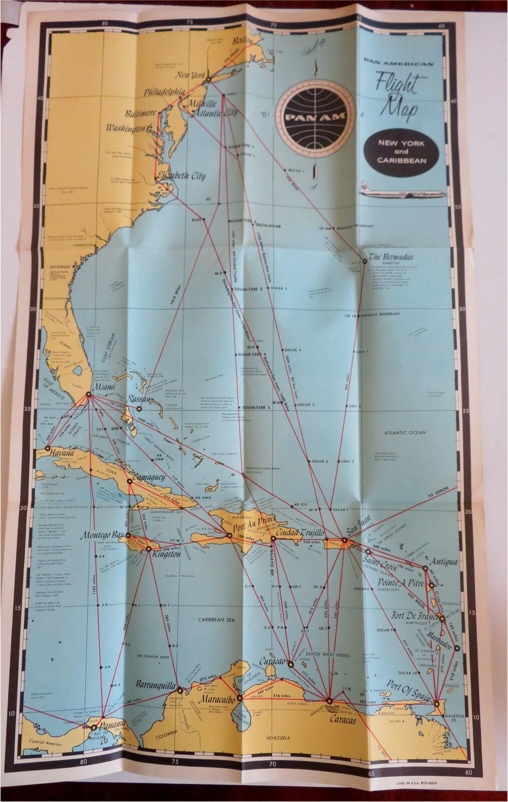
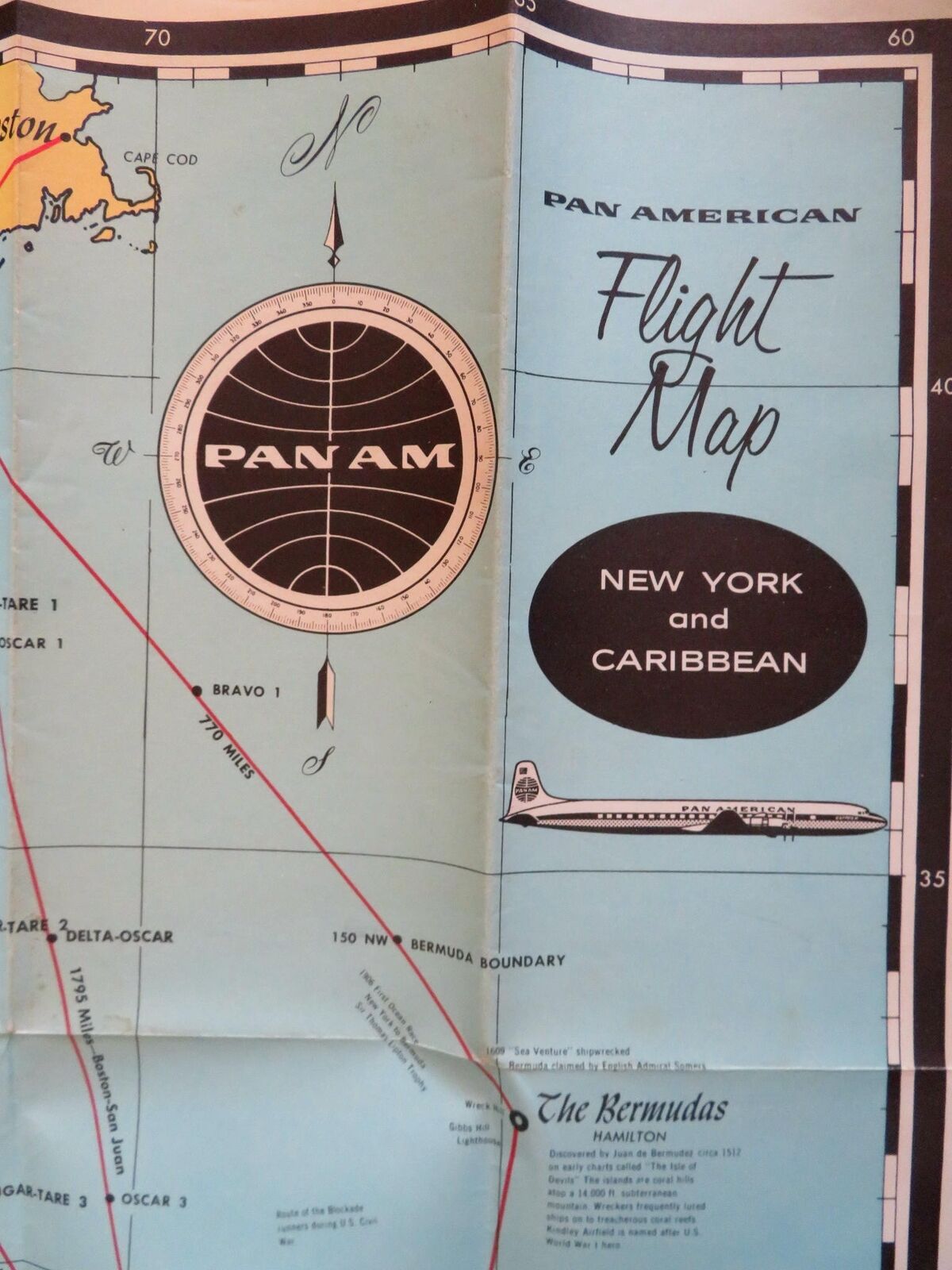
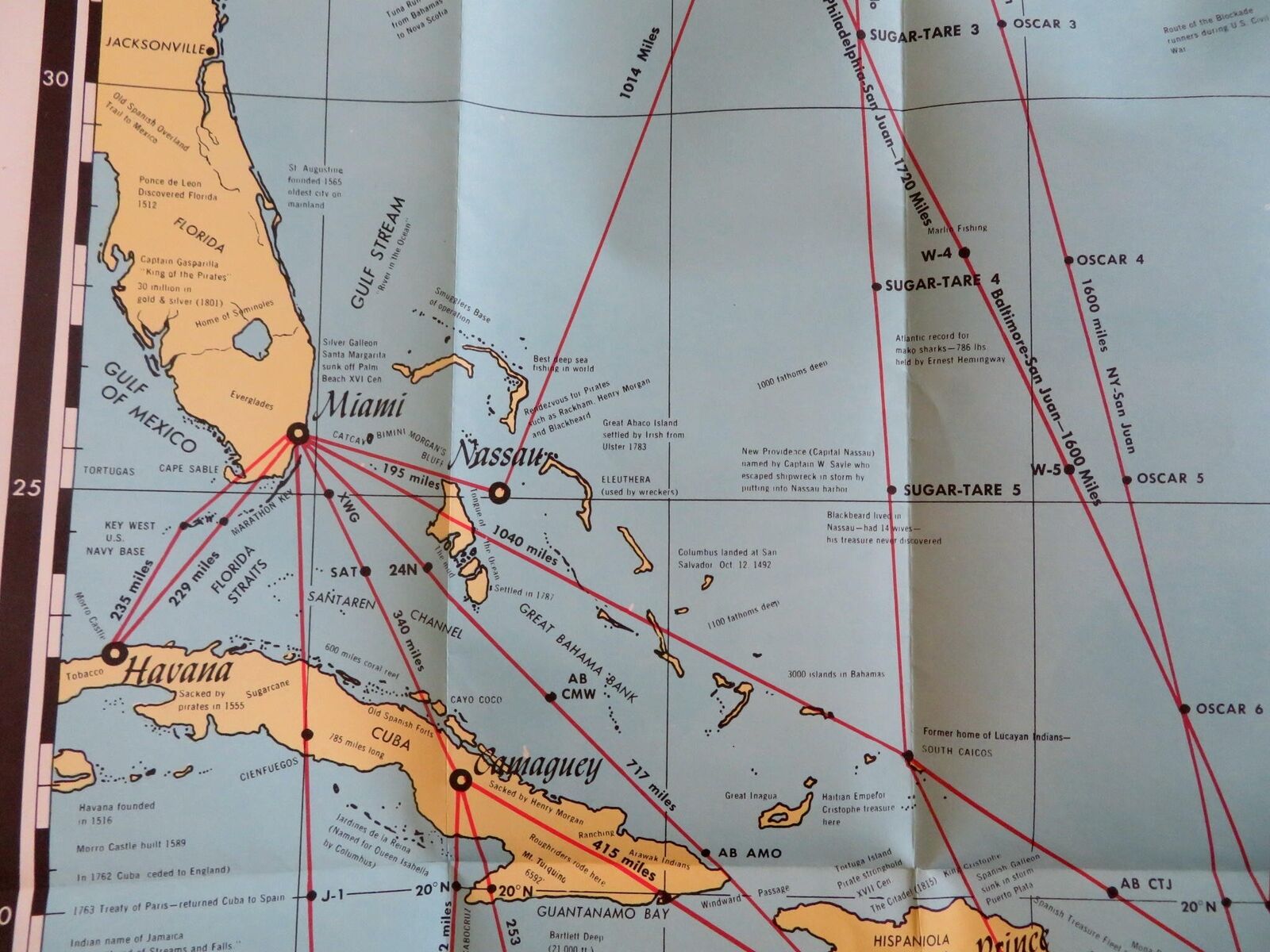


Pan American Flight Map East Coast New York Bahamas Caribbean c 1950's promo map
Publication Date: 1950
Used
Soft cover
From
RareMapsandBooks, Dover, NH, U.S.A.
Seller rating 4 out of 5 stars

AbeBooks Seller since November 27, 2015
This book is no longer available. AbeBooks has millions of books. Please enter search terms below to find similar copies.
About this Item
Description:
(Old Maps, Americana, Pan American Airlines, New York, East Coast, Bahamas, Caribbean, Flight Distances, Travel, Tourism, Ephemera, Vintage Advertising). Pan American Flight Map - New York and Caribbean. Published c. 1950's, United States by Pan American Airlines. Folding mid-20th century aviation map. Text in English. Publisher's pictorial color paper wrappers folded into panels. Item is old and shows some signs of handling and time. Item is not new or in "new" condition. Paper gently age worn, remains overall clean and attractive as a fragile survival. Paper is lightly toned, signs of handling, internally still well preserved, tight, sound. Still attractive on the shelf. The scarce map displays a pleasing and unique age patina and is in nice antiquarian condition, any age flaws easy to overlook or forgive. Please review photos for more detail and our best attempt to convey how this item survives. Map unfolded measures c. 25 1/2" H x 16" W.[B5937]. Seller Inventory # B5937
Bibliographic Details
Title: Pan American Flight Map East Coast New York ...
Publication Date: 1950
Binding: Soft cover
Condition: good
AbeBooks offers millions of new, used, rare and out-of-print books, as well as cheap textbooks from thousands of booksellers around the world. Shopping on AbeBooks is easy, safe and 100% secure - search for your book, purchase a copy via our secure checkout and the bookseller ships it straight to you.
Search thousands of booksellers selling millions of new & used books
New & Used Books
New and used copies of new releases, best sellers and award winners. Save money with our huge selection.
Rare & Out of Print Books
From scarce first editions to sought-after signatures, find an array of rare, valuable and highly collectible books.