


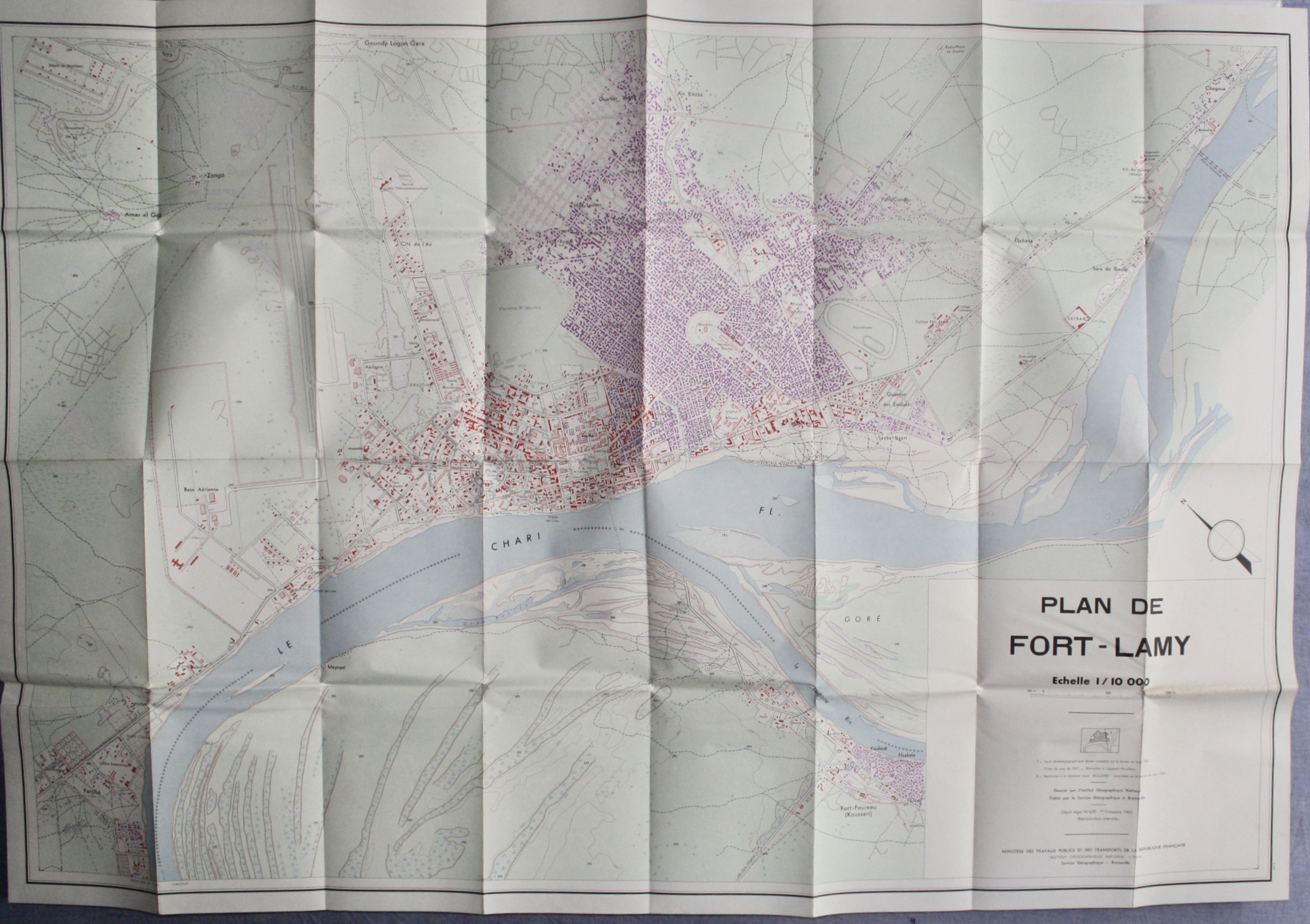
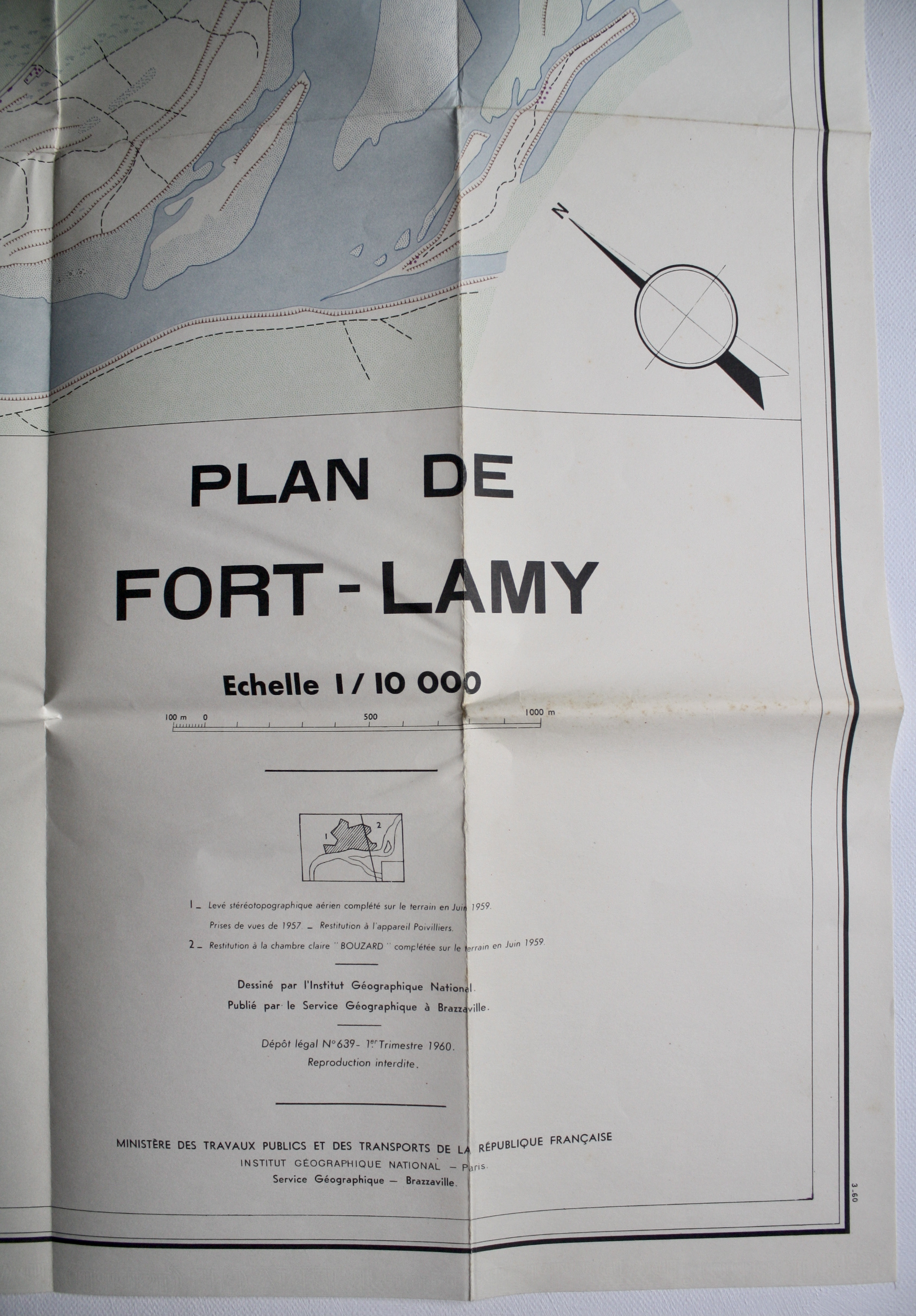
[Map / Carte] Plan de Fort-Lamy 1/10,000
Institut Geographique National
Published by Service Geographique, Brazzaville, 1960
Language: French
Map
Condition: Near Fine
Soft cover
From Dendera, London, United Kingdom
Seller rating 5 out of 5 stars
![]()
AbeBooks Seller since March 28, 2013