
Underground Map of London No Print code
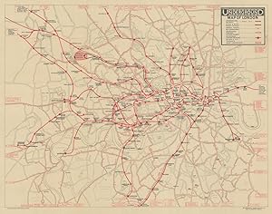
London Underground Railways
Condition: Used
Sold by Antiqua Print Gallery, London, United Kingdom
AbeBooks Seller since January 14, 2022
Seller rating 3 out of 5 stars
![]()
Used
Price:
US$ 1,332.66
Convert Currency
US$ 13.48
shipping from United Kingdom to U.S.A.
Destination, rates & speeds
Quantity: 1 available
Add to basket