About this Item
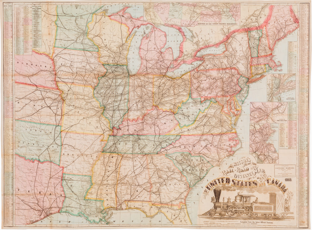
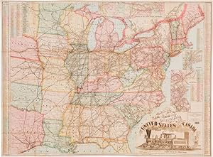
Watson s New RailŁ Road and Distance Map of the United States and Canada. This exquisite large-format railroad map endowed with a beautiful engraving of the locomotive San Francisco is among the finest railroad maps of America made in the 19th century. This striking map is essentially combining two stories: on one hand, it relays the joyous narrative of reunification and the strength that came from national unity; on the other hand, it embodies the story of how America s western frontier was tamed by the steam engine. While the reunification narrative may have been getting old by 1869, the role played by the railroads in this reunification was still unfolding on a daily basis. It was as relevant and fresh to Americans as anything could be. One might argue then, that this map straddles the divide between American reunification maps (e.g. Colton s Map of the United States of America, Showing the Country from the Atlantic to the Pacific Ocean from 1867) and the new cartographic hype surrounding the rapidly growing railroad network (e.g. The American Union Railroad Map Of The United States, British Possessions, West Indies, Mexico, And Central America from 1871). The main map shows the railroad lines of the eastern half of the United States, until Nebraska, Kansas, and Texas. It was compiled by Gaylord Watson, engraved by Fisk & Russell, and published in New York in 1869 (see census section below). It was specifically intended to meet the demand for an up-to-date map of the growing American and Canadian railroad systems, and sought to provide a comprehensive overview of distance and connectivity within the nation. It was printed as a color lithograph and was originally issued as a folding map in a brown cloth folder with an impressed title in gilt lettering. This suggests that the original idea was to provide a portable yet comprehensive railroad map that travelers could bring with them on voyages. Nevertheless, measuring an impressive 50 by 36.75 inches (127 x 93 cm), it was also clearly a map that was meant to be taken out a looked at, or even put on public display at train stations and the like. The style of the map is very different from the later Watson maps of the mid 1870s. It is more diagrammatic and less romantic; there is an explicit focus on the railroad systems, but other than that, cartographic elements have been kept to the bare minimum: plotting towns and cities, applying toponyms, outlining political boundaries, and color coding states. That s it. The map aligns with international standards by using Greenwich as one of its prime meridians, but at the same time stresses its American origin by also incorporating Washington DC as the second prime meridian in the map. Neatline is famous for its detailed and in-depth descriptions. To receive the full description for this listing free of charge, please contact us using the 'ask the seller' function below.
Seller Inventory # NL-00160
Contact seller
Report this item