Items related to London & North Eastern Railway Map, 1924
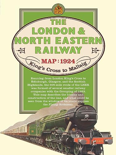

This map traces the 605 mile route from King's Cross Station in London up the east coast to Edinburgh across to Glasgow and over the Highlands before reaching the coast at Mallaig, with descriptions of what could be seen from the window of The Flying Scotsman and information about the line, its construction and its use in the days of steam.
"synopsis" may belong to another edition of this title.
- PublisherOld House Books
- ISBN 10 1908402288
- ISBN 13 9781908402288
- BindingMap
Buy New
Learn more about this copy
US$ 27.70
Shipping:
US$ 10.50
Within U.S.A.
Top Search Results from the AbeBooks Marketplace
Stock Image
London & North Eastern Railway Map 1924 (Old House)
Seller:
Rating
Book Description Condition: New. Series: Old House. BIC Classification: 1DBKE; 3JJG; HBTP1; WGF. Category: (G) General (US: Trade). Dimension: 208 x 214 x 8. Weight in Grams: 115. New. 2012. Map. . . . . Books ship from the US and Ireland. Seller Inventory # 9781908402288
Buy New
US$ 27.70
Convert currency
Stock Image
London & North Eastern Railway Map 1924 (Old House)
Seller:
Rating
Book Description Condition: New. Series: Old House. BIC Classification: 1DBKE; 3JJG; HBTP1; WGF. Category: (G) General (US: Trade). Dimension: 208 x 214 x 8. Weight in Grams: 115. New. 2012. Map. . . . . Seller Inventory # 9781908402288
Buy New
US$ 32.17
Convert currency