About this Item
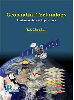
Contents: 1. Geospatial Technology. 2. Remote Sensing. 3. Photogrammetry. 4. Elements of Image Interpretation. 5. Visual Image Interpretation. 6. Applications of Remote Sensing in Weather and Climate. 7. Application of Remote Sensing on Marine Environment. 8. Application of Remote Sensing in Water Resources. 9. Application of Remote Sensing in Agriculture Resources. 10. Application of Remote Sensing in Forest Resources. 11. Application of Remote Sensing in Desertification and its Control. 12. Geographical Information Systems. 13. Fundamentals of Mapping and Digital Cartography, Digitization and Map Compilation. 14. Data Sources for Geographical Information System. 15. Data Capture in Geographical Information System. 16. Global Positioning System. Applications of Geospatial Technology. Exercises on Cartography, Remote Sensing, GIS and GPS. Glossary of Geospatial Technology. Geospatial technology is a new disciplines integrating various subjects dealing with geographical data. It capture and stores the geospatial data along with spatial and non-spatial information. It includes Surveying, Remote Sensing (RS), Geographical Information System (GIS), Global Positioning System (GPS), Photogrammetry, Cartography, Geography, Computer Science and Statistics. It has emerged as a credible tool in mapping, modeling, monitoring and managing natural resources, environment, natural disasters, and socio-economic features, which are vital components for sustainable development planning and management. The advantage of Satellite Remote Sensing (SRS) and subsequent development of Global Positioning System (GPS) and Geographical Information System (GIS) have made significant changes in surveying and map making. In the light of this, both in the academia and the industry, these topics have been brought together under one umbrella in term of Geospatial technology. This book will be invaluable for students pursuing various courses on Geospatial technology, Environment studies, Geology, Geography, Disaster, Agriculture, Forestry, Engineering, Marine Science, Urban planning and Socio-economic development. It will prove useful and handy for professionals pursuing Remote Sensing, GPS, GIS and socio-economic development. The entire book has been divided into 16 chapters with Practical Exercises, Short Questions and Multiple Choice Questions.
Seller Inventory # 153712
Contact seller
Report this item