
Order Total (1 Item Items):
Shipping Destination:

Mitchell Augustus Mapmaker (1 results)
Skip to main search results
Search filters
Product Type
- All Product Types
- Books (1)
- Magazines & Periodicals (No further results match this refinement)
- Comics (No further results match this refinement)
- Sheet Music (No further results match this refinement)
- Art, Prints & Posters (No further results match this refinement)
- Photographs (No further results match this refinement)
- Maps (No further results match this refinement)
- Manuscripts & Paper Collectibles (No further results match this refinement)
Condition Learn more
- New (No further results match this refinement)
- As New, Fine or Near Fine (No further results match this refinement)
- Very Good or Good (No further results match this refinement)
- Fair or Poor (No further results match this refinement)
- As Described (1)
Binding
- All Bindings
- Hardcover (No further results match this refinement)
- Softcover (No further results match this refinement)
Collectible Attributes
- First Edition (No further results match this refinement)
- Signed (No further results match this refinement)
- Dust Jacket (No further results match this refinement)
- Seller-Supplied Images (1)
- Not Print on Demand (1)
Language (1)
Price
- Any Price
- Under US$ 25 (No further results match this refinement)
- US$ 25 to US$ 50 (No further results match this refinement)
- Over US$ 50
Free Shipping
- Free Shipping to U.S.A. (No further results match this refinement)
Seller Location
Seller Rating
-
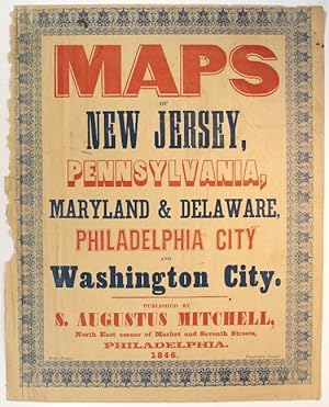
Maps of New Jersey, Pennsylvania, Maryland & Delaware, Philadelphia City and Washington City. Published by S. Augustus Mitchell, north east corner of Market and Seventh Streets
Published by Evans, printer, Fourth below Chestnut, Philadelphia, 1846
Seller: Rulon-Miller Books (ABAA / ILAB), St. Paul, MN, U.S.A.
Association Member: ABAA ILAB RMABA
Seller rating 5 out of 5 stars

Folio broadside approx. 17�" x 13�", printed in red and blue with wood and metal type, and within an ornate typographic border printed in blue. Left-hand margin slightly ragged (but not touching the border); the whole slightly toned, but on the whole, very good. Purchased as a broadside, in fact this is likely the upper wrapper of Mitchell's Maps of New Jersey, Pennsylvania, Maryland & Delaware, Philadelphia City and Washington City, five color maps issued together in 1846. Whether this colorful setting of type was used as a commercial advertisement beyond the obvious display on the wrapper is uncertain. Phillips, List of Geographical Atlases in the Library of Congress, 3692.