About this Item
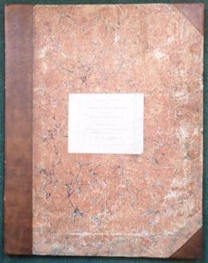
2 vols - The Charts & Plans with The Report, complete, 16 large plates, VG, 1st ed. Charts & Plans, 54*68 cms (small double elephant), in modern half calf with contemporary marbled boards, some blind tooling, paper title, board edges a little bumped. Spine, gilt tooling & titles. Internally, title page with title & plate list within double ruled borders, 16 large, double page, folding plates of engraved maps, plans, elevations and sections, including a general map of the routes between Carlisle and Belfast, detailed plans of proposed harbours, new roads and bridges, including 7 of which are partly hand coloured, leaves water marked 1801, some very minor toning & spotting, some creasing, small paper repairs to head of tp, some of the plates are 140*63 cms! The Report, 34.6*22cms (Tall Folio), in modern blue paper wraps, white paper label to upper cover, [2], 3-75 pp, [2], [1], paper watermarked 1804, t.e.g., first 4 leaves have contemp. ink numbering to top corner, contains the report pp 3-5 & The Appendix pp 7-75. Printed by L. Hansard & Son for the House of Commons. (Parliamentary Papers, 1780-1849, Vol 52, Part 7, 26 - Repot, 1809). Telford, civil engineer, whose main achievements in road making were the London to Holyhead and Bangor to Chester roads as engineer to the Holyhead road commissioners from 1815, and the Glasgow to Carlisle, Lanarkshire, and highlands of Scotland roads as engineer to the highland roads commissioners from 1803. See ODNB. M'KERLIE who in 1806 as a Rear-Admiral M'Kerlie, was instructed by the Admiralty to assist Mr. T. Telford, a Civil Engineer, in making a survey of the line of communication between the north of England and the north of Ireland, and also in surveying the harbours on each side of the Channel. Seller Inventory # 006051
Contact seller
Report this item
![]()


