
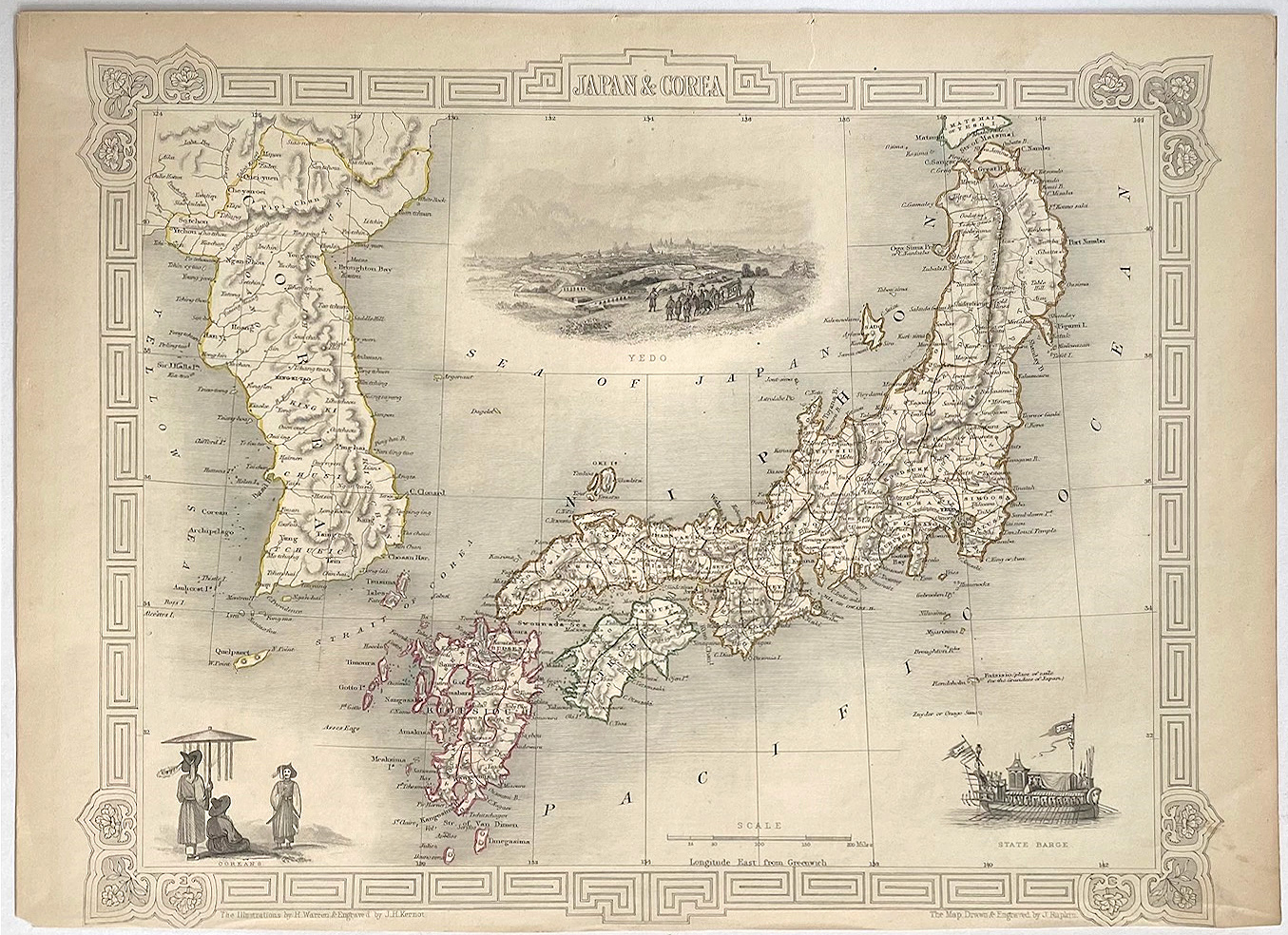
Antique Map - Japan & Corea
TALLIS, John
Published by London: Tallis, J. & F., 1851
Map
Condition: Very Good
From Picture This (ABA, ILAB, IVPDA), Sunningdale, United Kingdom
Seller rating 5 out of 5 stars
![]()
AbeBooks Seller since October 16, 2016