


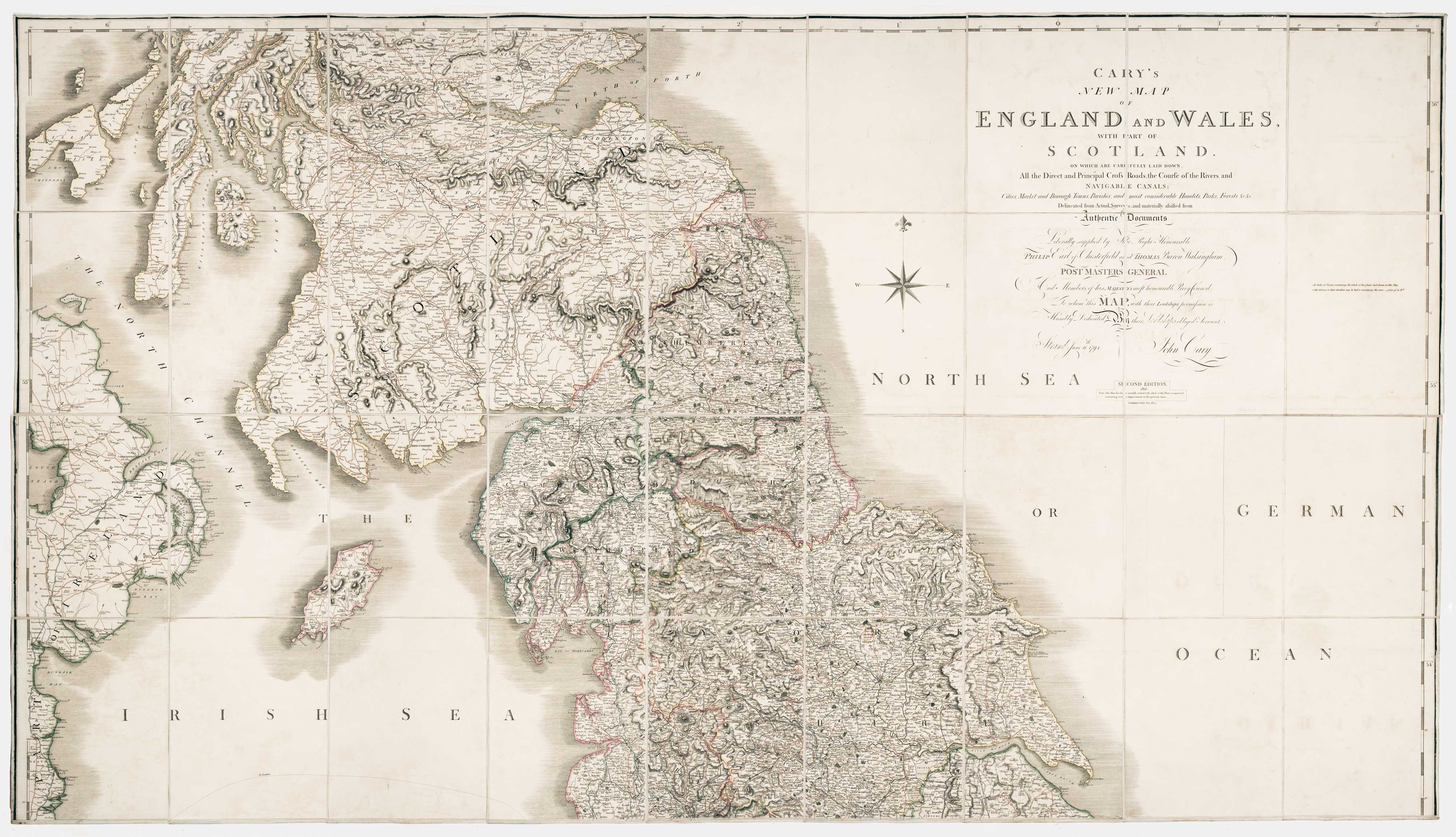
Cary's New Map of England and Wales, With Part of Scotland. On which are carefully laid down All the Direct and Principal Cross Roads, the Course of the Rivers and Navigable Canals, Cities, Market and Borough Towns, Parishes and most considerable Hamlets, Prks, Forests &c &c. Second Edition, Corrected to 1820.
CARY, John.
Publication Date: 1820
Map
Condition: Used
Sold by Altea Antique Maps, London, United Kingdom
Association Member:
AbeBooks Seller since June 26, 2014
Seller rating 5 out of 5 stars
![]()
Used
Price:
US$ 1,710.61
US$ 46.50 shipping
Ships from United Kingdom to U.S.A.
Ships from United Kingdom to U.S.A.
Quantity: 1 available
Add to basket