
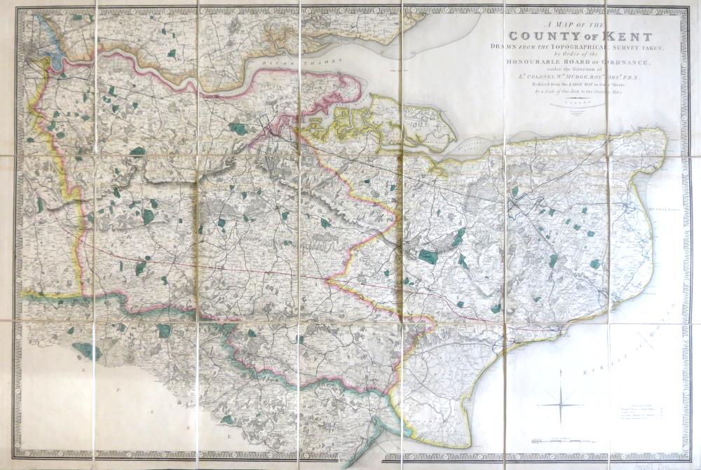
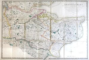
A Map of the County of Kent Drawn from the Topographical Survey Taken, by Order of the Honourable Board of Ordnance, . Reduced from the Large Map in Four Sheets by a Scale of One Inch to Two Statute Miles
(ORDNANCE SURVEY) [under the direction of] MUDGE, Wm., Lt. Colonel
Published by London: Jas. Wyld, 1841
Map
Condition: Used
Sold by Bow Windows Bookshop (ABA, ILAB), Lewes, United Kingdom
Association Member:
Heritage Bookseller
AbeBooks Seller since September 22, 1998
Seller rating 5 out of 5 stars
![]()
Used
Price:
US$ 407.16
US$ 29.48 shipping
Ships from United Kingdom to U.S.A.
Ships from United Kingdom to U.S.A.
Quantity: 1 available
Add to basket