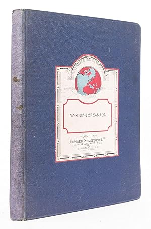
Stanford's General Map of the Dominion of Canada and Newfoundland. Scale, 1 : 5,500,000 (87.5 miles to 1 inch). [Showing] Railways [and] Steamship connections.
STANFORD, Edward.
Sold by Robert Frew Ltd. ABA ILAB, London, United Kingdom
Association Member:
AbeBooks Seller since March 31, 1998
Used - Hardcover
Quantity: 1 available
Add to basket
