About this Item
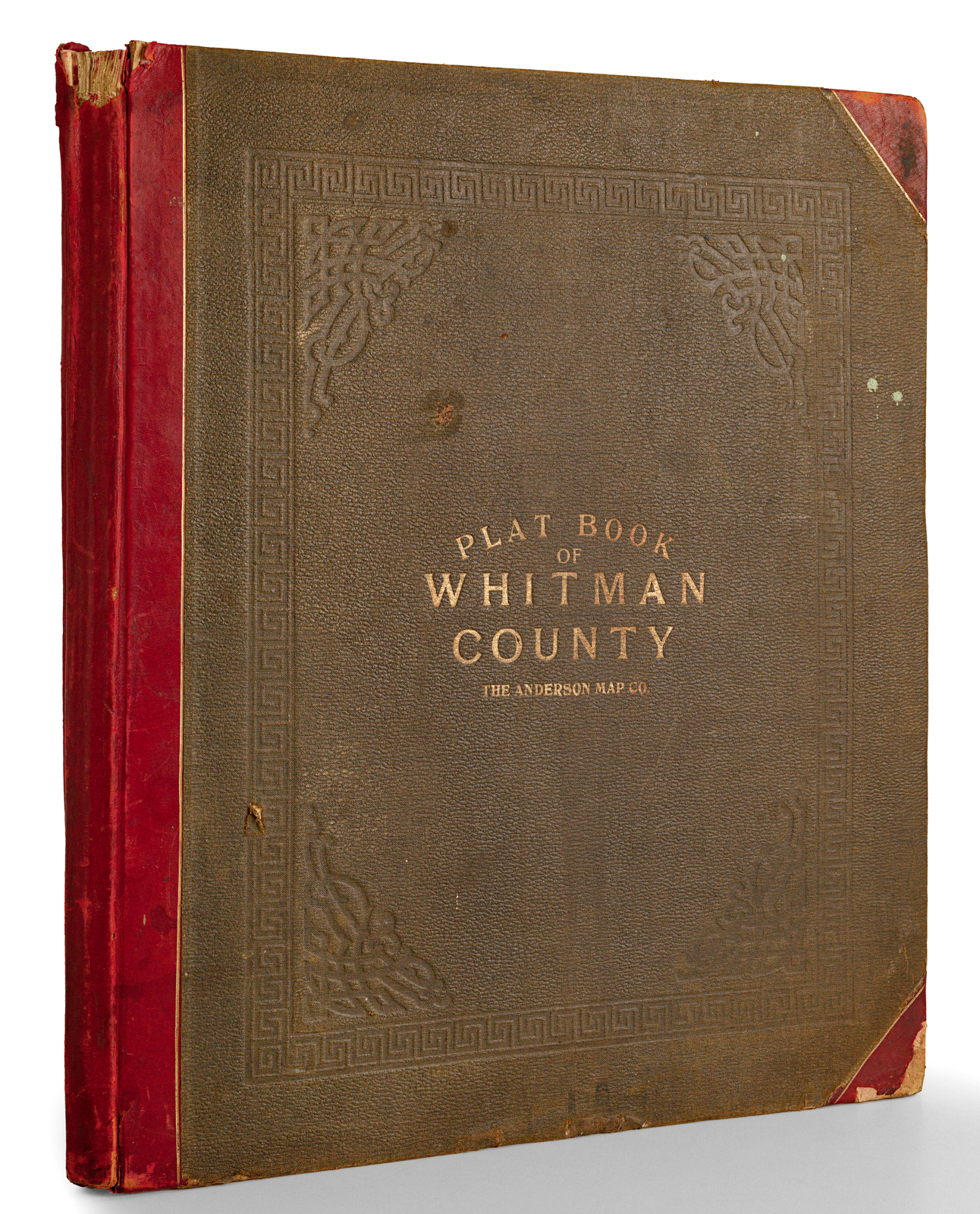
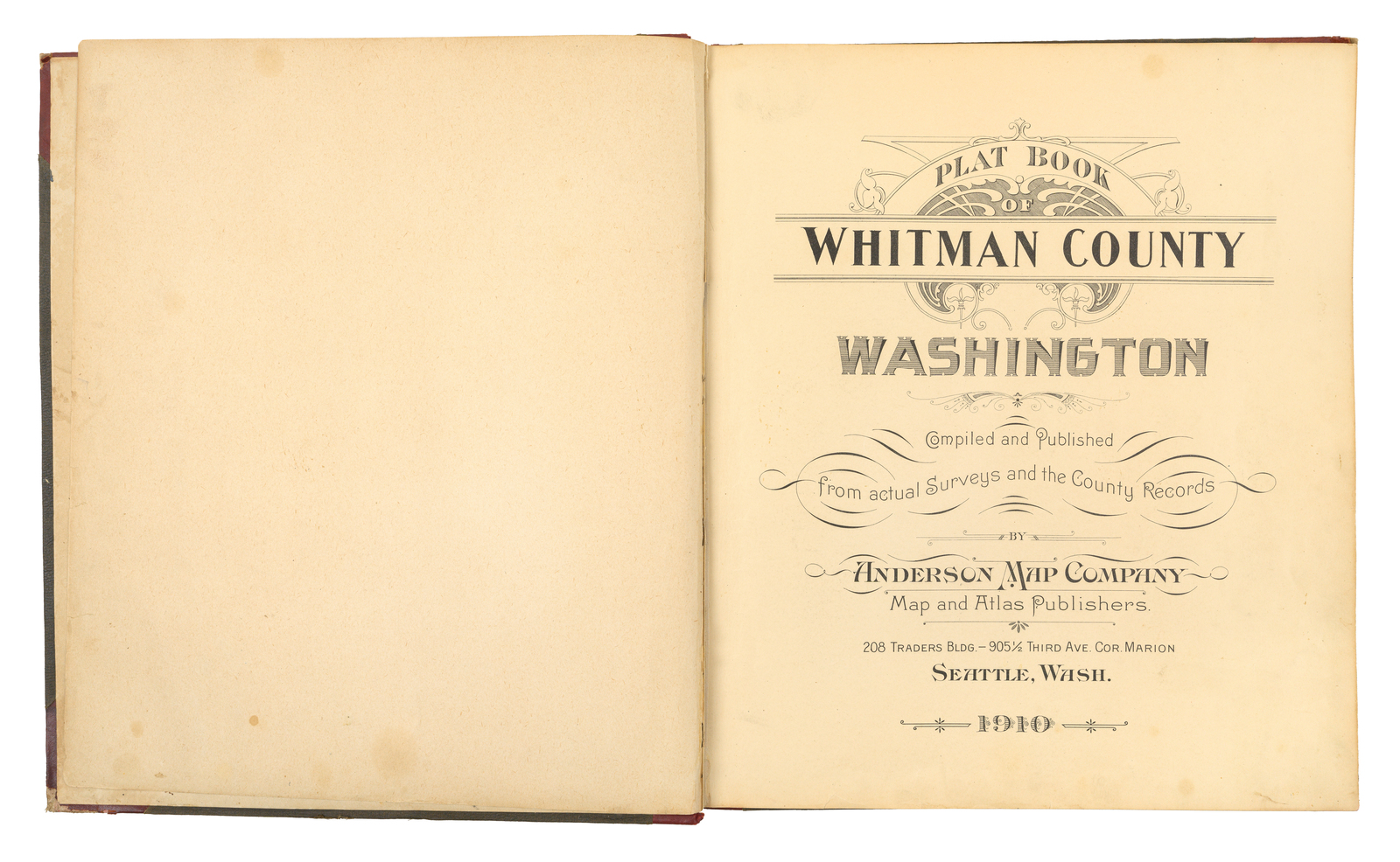
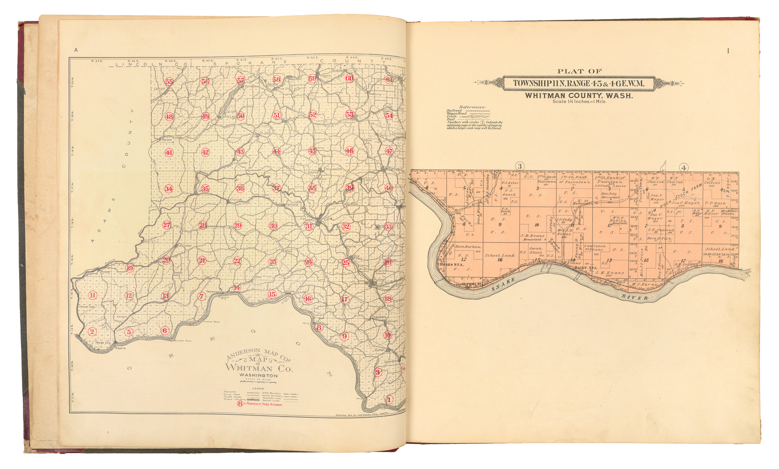
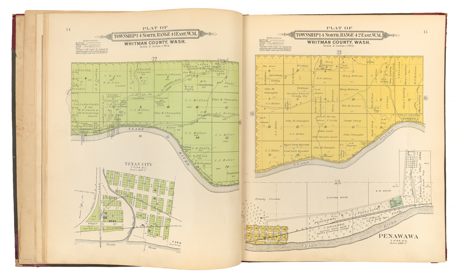
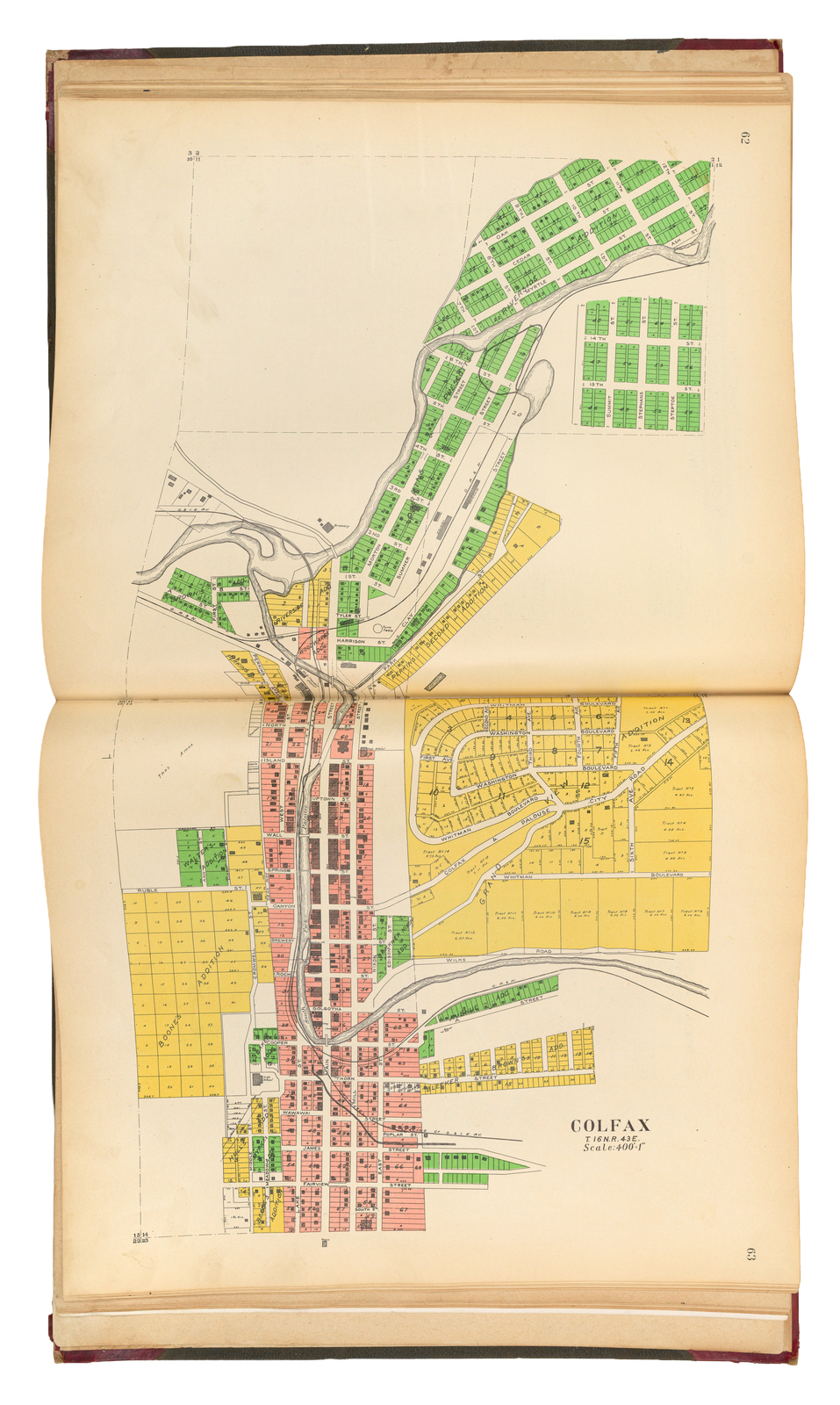
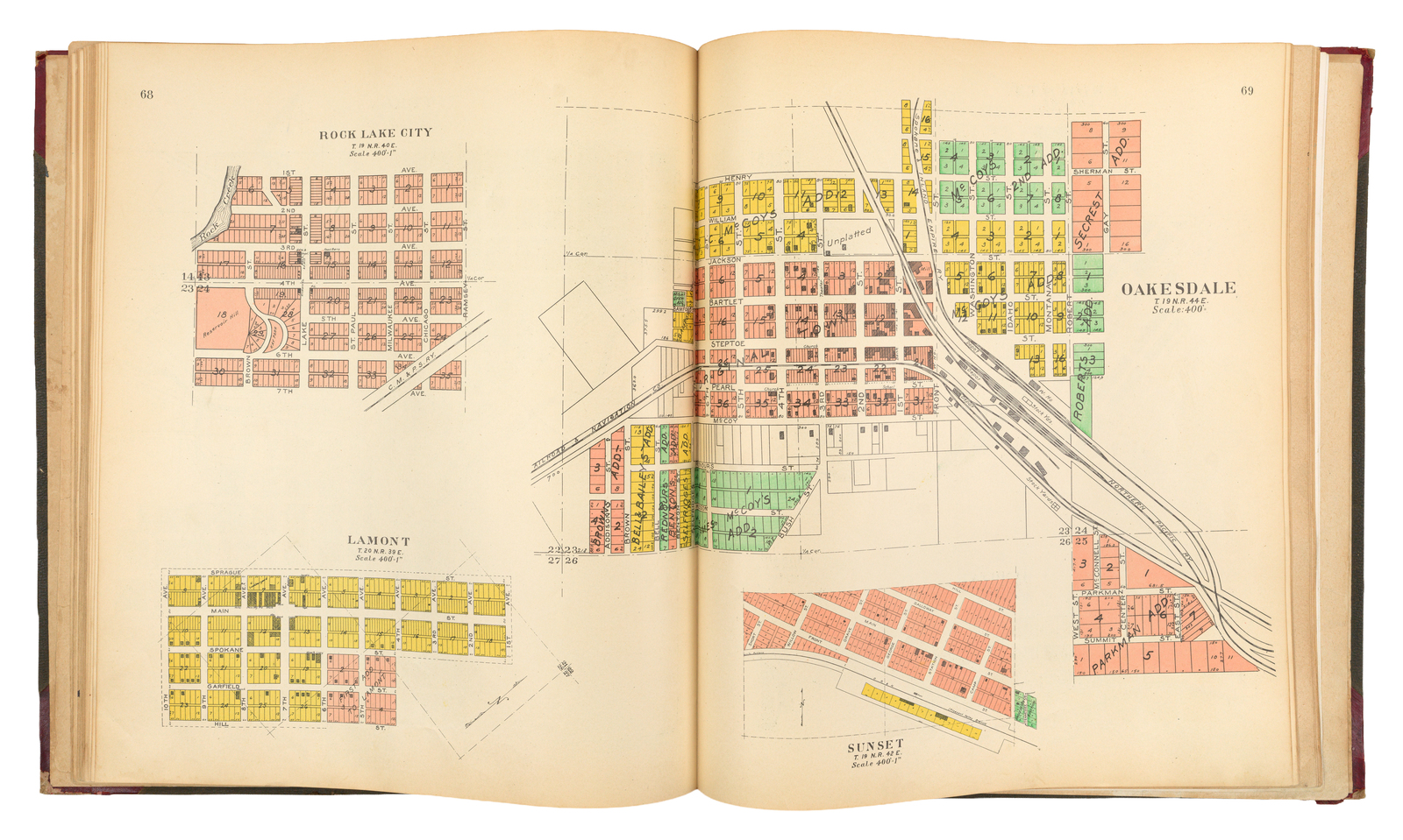
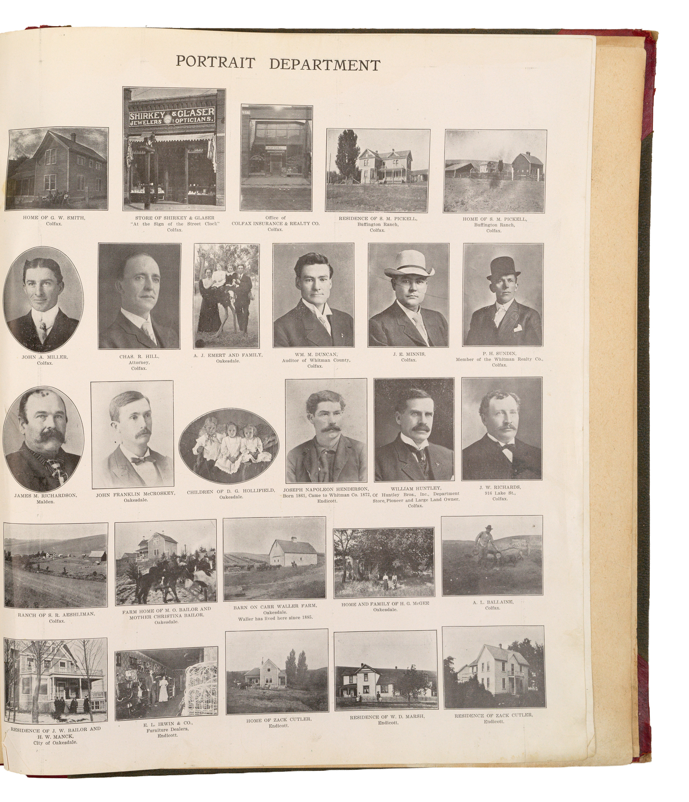
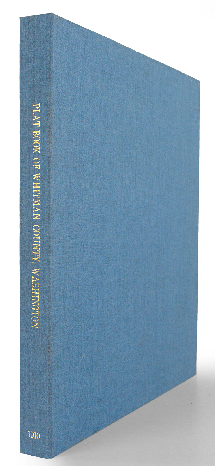
Large-format Atlas of Whitman County, Washington The detailed color plats show townships, towns, railroads, roads, and individual landholdings throughout Whitman County at the height of its early twentieth-century a. Folio. Original half red leather over pebbled cloth, stamped in blind and gilt. Spine ends chipped. Corners worn. 80, [24] pages. Comprising 80 pages of color plat maps (plus unnumbered key map at front), [16] pages "supplement" which includes 2-sheet Cram map of the U.S. and 2-sheet Map of the World, and four pages of black and white portraits of landowners. Housed in a custom blue & yellow cloth clamshell box. Large-format Atlas of Whitman County, Washington The detailed color plats show townships, towns, railroads, roads, and individual landholdings throughout Whitman County at the height of its early twentieth-century agricultural development, and the work appears to be one of the earliest comprehensive, locally produced land-ownership atlases of the county, rarely encountered in commerce.The atlas was issued by the Anderson Map Company of Seattle, the successor to O. P. Anderson & Co. and the O. P. Anderson Map & Blue Print Company, one of Seattle s first home-grown map-publishing firms, which produced important guide and county maps for King, Chehalis, Cowlitz and other Washington counties, as well as a celebrated 1909 Official Map of Greater Seattle. The founder, Oliver Phelps Anderson (1859 1941), was a Seattle-based draughtsman, civil engineer, cartographer and photographer who built a thriving map and photographic-supply business from the late 1880s onward, making this Whitman County plat book a representative but now quite scarce product of his influential regional mapping enterprise.Whitman CountyWhitman County, in southeastern Washington s Palouse region, was formed on November 29, 1871; and was named for Marcus Whitman, the missionary associated with the Whitman Mission who was killed in 1847 during the conflict often called the Whitman Massacre. Long before Euro American settlement and wheat farming reshaped the rolling loess hills, the area formed part of the seasonal homelands and travel corridors of Palouse and Nez Perce peoples, among other Plateau communities, who hunted, gathered, traded, and moved along the Snake River system. In the late nineteenth century the county s development accelerated with agricultural settlement and rail-linked market towns, a pattern still visible in its principal communities today, led by Pullman and Colfax, and including Palouse, Tekoa, Rosalia, Uniontown, Albion, and Malden.RarityQuite rare in the market. Only a single example noted in RBH.
Seller Inventory # 119006
Contact seller
Report this item

